Introduction
Before getting into the chain surveying, let’s learn some basics of surveying. There are two major measurements in surveying, they are linear measurements and angular measurements. In surveying, linear distance can be measured by various following methods,
- Direct Distance Measurement (DDM)
- Optical Distance Measurement (ODM)
- Electromagnetic Distance Measurement (EDM)
In the case of direct measurement, linear distance can be measured on the ground with the help of a chain or tape, or any other devices.
In the case of measurement by optical methods, devices like tacheometry are used to make observations. In the electromagnetic methods, distances are measured with instruments that rely on waves like radio waves, infrared waves, and light waves to measure linear distance.
Now as you get the overall view, let’s learn more about one of the direct distance measurement method called chain surveying.
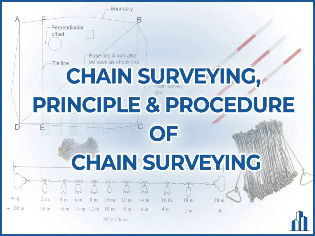
Chain surveying is the type of surveying in which only linear measurements are made in the field. Chain surveying derives its name from the fact that the principal equipment used in this process is the chain.
Principle of chain surveying
The principle of chain surveying is triangulation. It means that the surveying area is divided into a smaller number of well-conditioned triangles. A triangle is said to be a well-conditioned triangle if the angle between two lines in a triangle is in between 30° and 120°. An equilateral triangle is considered to be the ideal well-conditioned triangle.
Instruments used in chain surveying
The various instruments which are used in chain surveying to determine the length are as follows,
- Chain
- Arrows
- Pegs
- Ranging rod
- Offset rod
- Plumb bob with thread
- Cross staff or optical square
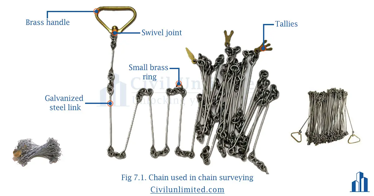
1.Chains
Chains are formed of links, which are made up of galvanized mild steel wire. The end of the links is bent into rings and joined to each other. At each joint, there were 3 circular or oval rings. These rings offer flexibility to the chain. The end of the chain is provided with a brass handle with a swivel joint, so that the chain can be turned without twisting.
The length of the link is the distance between two consecutive middle rings and the length of the chain is measured from the outside of one handle to the outside of the other handle.
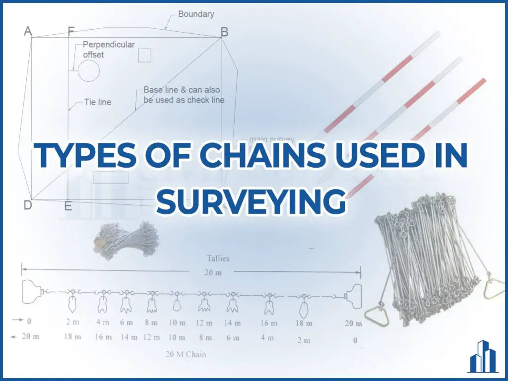
There are different types of chains used in chain surveying. Click here to learn about them in detail.
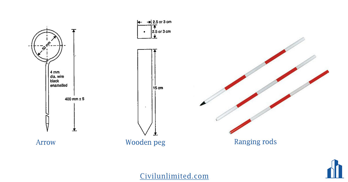
2.Arrows
The arrows are made up of good-quality steel. These arrows are inserted into the ground after every chain length is finished on the ground. Usually, 10 arrows are supplied with one chain. These arrows are 4mm in diameter and the length may vary from 25 to 50 cm. The most common length is 40cm. One end of the arrow is sharp and the other end is bent into a loop.
3.Pegs
It is made up of wooden material. These wooden pegs are mostly used to indicate the position of a station in a survey line. It is usually a square section of 2.5 or 3 cm and has a length of 15cm.
4.Ranging rod
It is a timber or a steel rod (mostly steel) of 3cm nominal diameter and either has a length of about 2m or 3m. The 2m length is the most common one. These are painted with an alternate band of either,
- Black and white
- White and red
- Black, red and white
The most common one is white and red. Each band is about 20cm deep. These rods are almost invisible after 200m, in that case, a white flag of cross section 50cm x 30cm is tied at the top portion. Sometimes, in the field, a ranging rod was used to measure a small distance roughly.
5.Offset rods
It is more similar to the ranging rod. It has a length of 3m. This rod is mainly used for measuring offsets roughly.
6.Plumb bob with thread
It consists of a conical weight at the bottom hanged by a thread. It is used to find the true vertical line. It is used while chaining along the sloping ground. It is used as a centering aid for various surveying instruments.
7.Cross staff
It is the simple instrument used to set out the right angles from the survey line. The most common and accurate instrument used to set out the right angle in the field is the optical square.
Procedure of chain surveying
Here in chain surveying, we use the concept of triangulation and 2 core principles of surveying i.e., working from whole to part, and to locate a point we need a minimum of 2 measurements.
- First, visit the site and make a key plan of the site.
- Then mark the point on the boundary of the site, where you will like to place your survey station. This station can be called as main survey station. The point can be marked by a wooden peg or a ranging rod. The survey stations should be mutually visible.
- Then, connect the main survey station using chaining (chain surveying). Use ranging rod wherever necessary. The lines which connect the main survey stations are called as main survey lines. The longest main survey line which connects two main survey stations is called as base line. The lines can be plotted in a way such that each area is formed as a triangle. As far as possible, the main survey line should fall within the boundary of the site and should not pass through obstacles.
- To take the details of the nearby objects, a tie line is plotted. A tie line is a line that joins two subsidiary or tie stations which are on the main survey line.
- From the tie line, an offset is taken to plot the position of the objects. The offset may be perpendicular or oblique from the tie line. If the offset is less than 15m, it is called as a short offset. If it is greater than 15m, then it is called as long offset.
- At last, the accuracy of the work can be checked by check lines or proof lines. A check line may be laid by joining the apex of the triangle to any point on the opposite side or by joining two points on any two sides of a triangle.

Frequently Asked Questions
Main survey line – The lines which connect the main survey stations which are present in the boundary of the site.
Base line – It is the longest main survey line which connects two main survey stations.
Tie line – It is the line joining two subsidiary stations or tie stations which are present in the main survey line.
Check line or proof line – It is the line which are run in the field to check the accuracy of the work. Sometimes a tie line or a base line can also be used as a check line.